In this story
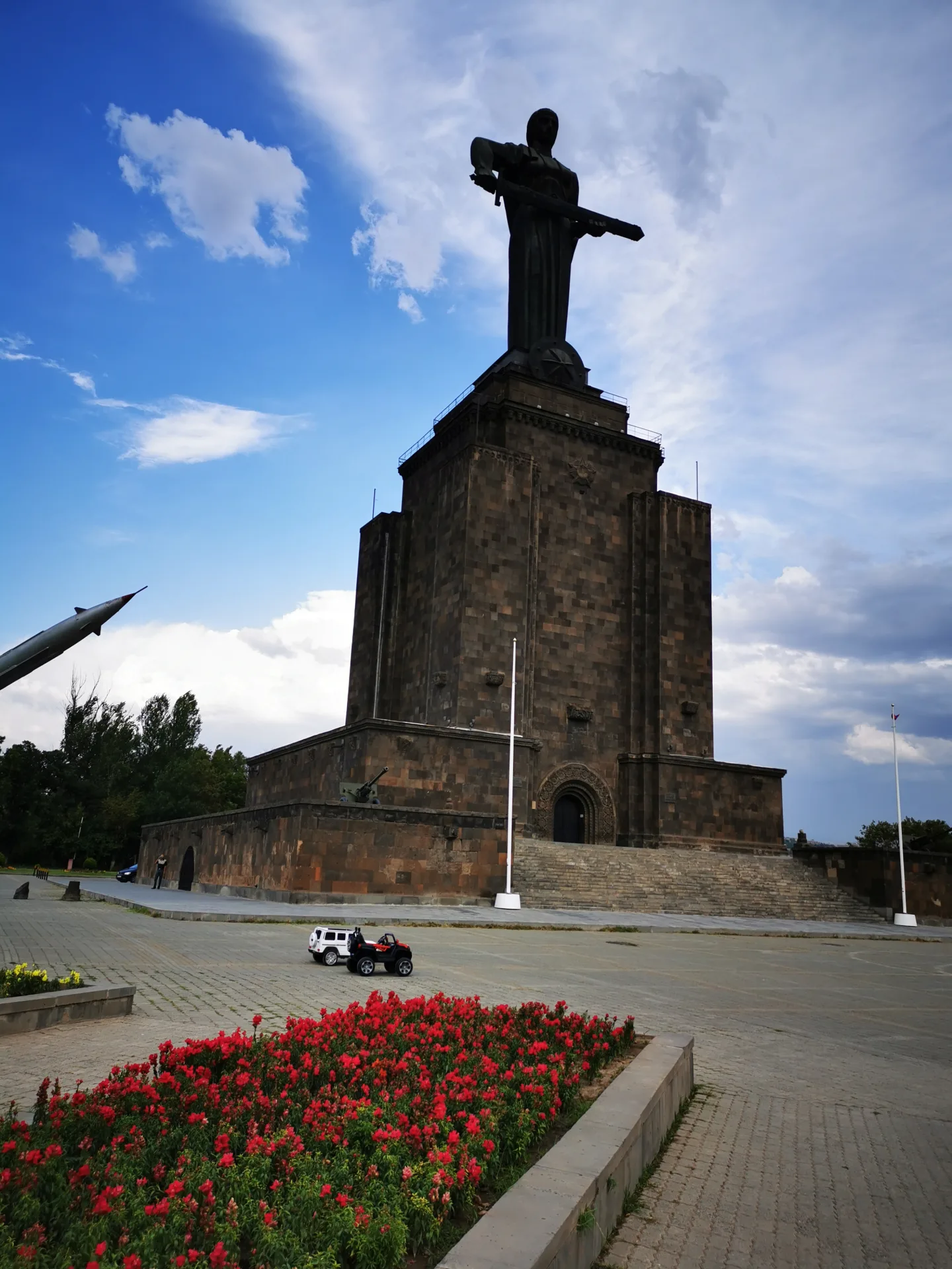
We started in Yerevan, under Mother Armenia. She stands twenty-two metres tall on a hill above the city, on a pedestal that held a seventeen-metre Stalin until it came down in 1962. Five years later she took his place, sword held level, facing Ararat. It is a good first view of a country, and a good first lesson in how much of it is layered over something else.
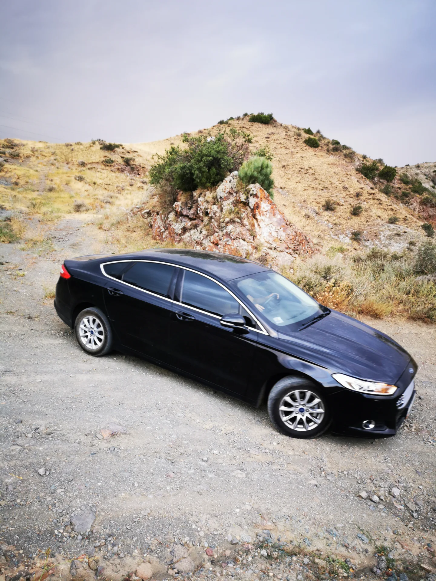
Then we picked up the car. A black Ford Mondeo from Sixt — a low saloon, no clearance to speak of — and drove it 1,330 kilometres, mostly over passes and occasionally over gravel it was never designed for. By the end my phone had also counted 123,000 steps. Neither number meant much while it was happening. Together they explain how I slept.
Twelve days, 4 to 15 August 2021, beginning and ending in Yerevan, with six of them spent driving a loop of the country. I planned the route myself and we took no guides. The monasteries get their own post, along with the afternoon we spent hanging over a gorge in a stopped cable car. This one is about everything in between.
What is there to see in Armenia besides monasteries?
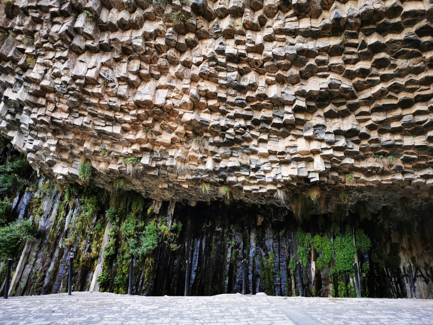
Much of it is geology. Below the temple at Garni the Azat river has cut through a lava flow and exposed the inside of it: thousands of five- and six-sided basalt columns, some close to fifty metres tall, hanging off the canyon wall. Armenians call it the Symphony of Stones. A path runs along the river to the foot of it.
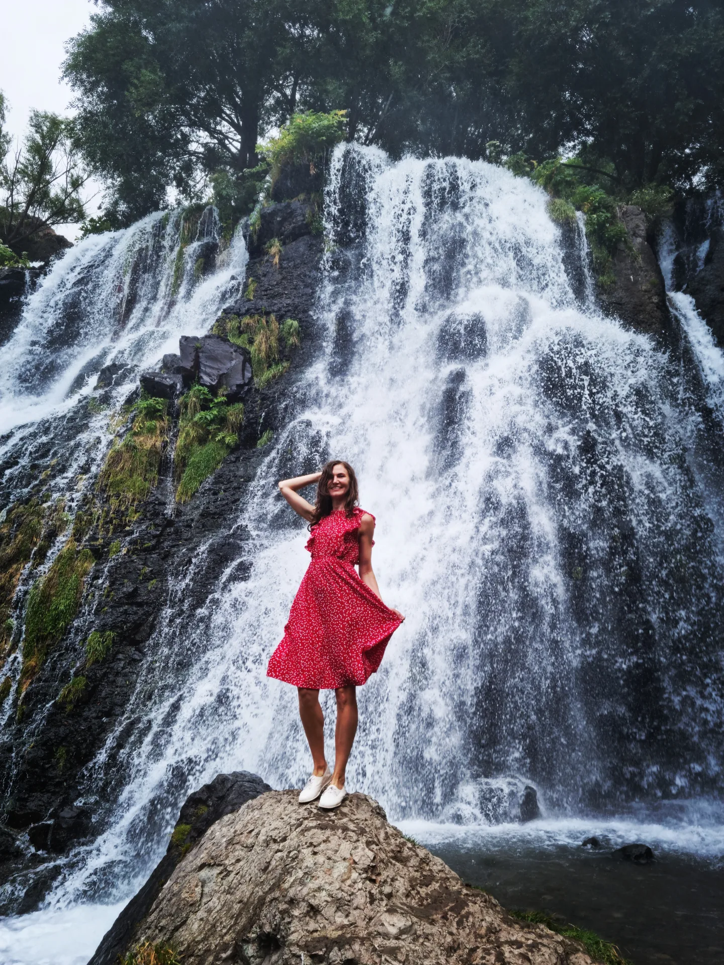
Further south, Shaki waterfall drops eighteen metres off a basalt ledge in the Vorotan gorge, a few kilometres from Sisian. The road in is gravel, which is where the choice of car stopped being theoretical.
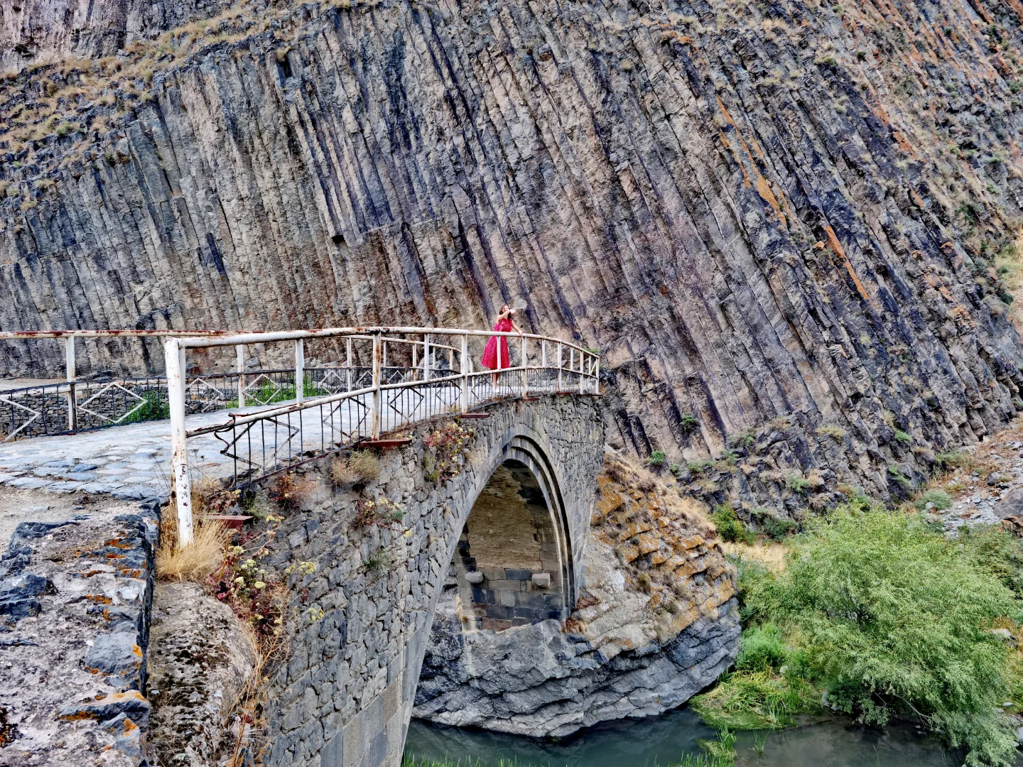
Twenty kilometres east of Sisian, below the ruins of the Vorotnaberd fortress, a single stone arch crosses the Vorotan. The Melik Tangi bridge is twenty-five metres long, built in 1855 by Melik Tangi II, governor of the Sisian district, and still carrying people across. Basalt walls rise on both sides of the gorge above it — the same stone as at Garni, stacked differently. He had the bridge built to improve the road towards Tatev. We went up to Tatev by cable car instead, which turned out to be the more eventful choice — but that belongs in the other post.
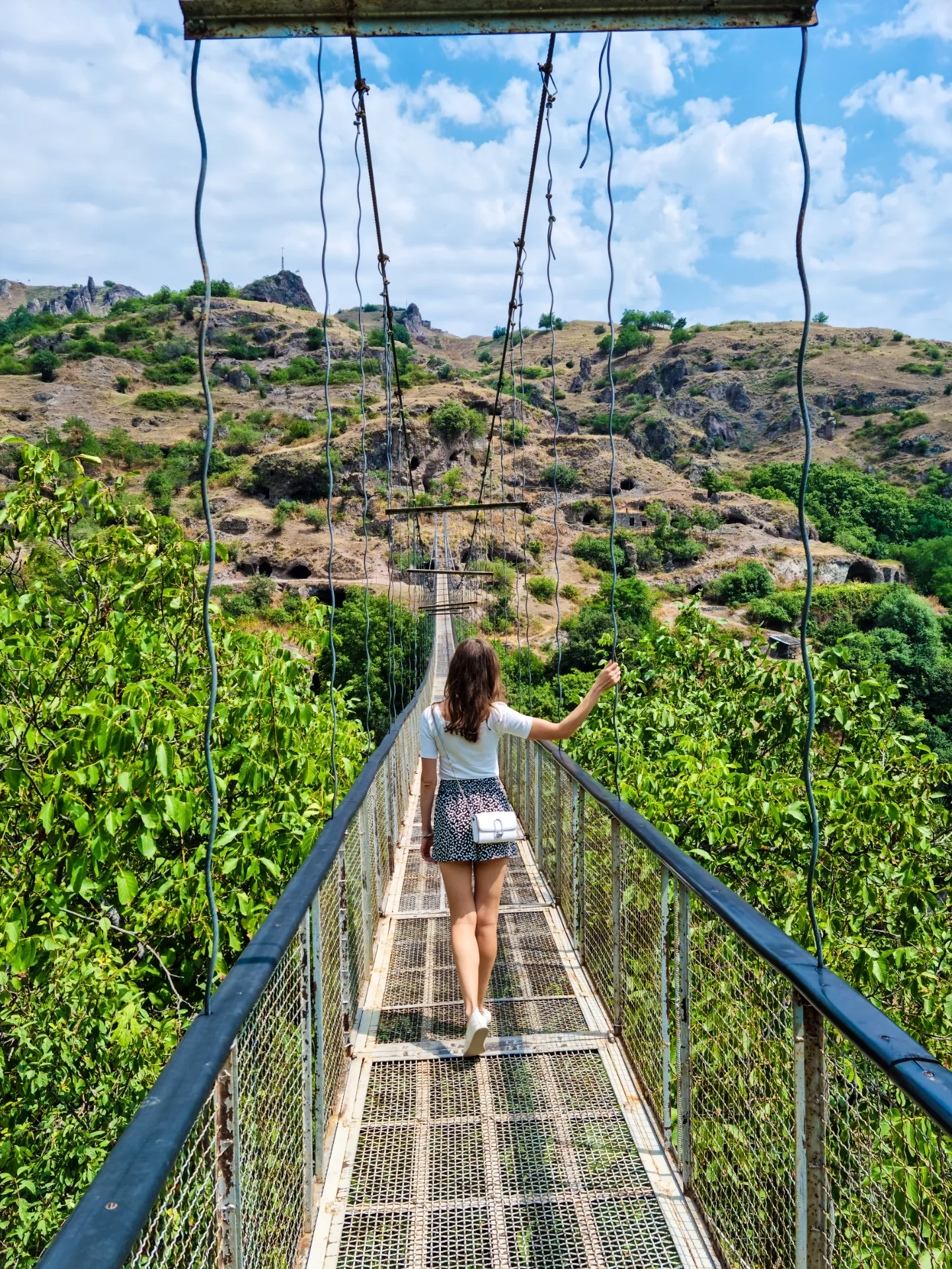
At Khndzoresk, near Goris, the villagers built their own suspension bridge in 2012 — 160 metres across the gorge, 63 metres above the ground. YerevanIt links the village people live in now to the one they left.
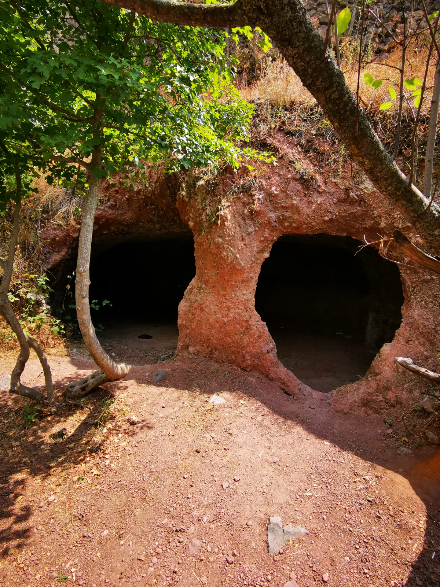
Old Khndzoresk is carved into the canyon walls: three kilometres of it, at 1,580 metres, caves cut into soft rock and stacked over one another so that one household's roof was the next one's floor. There was no level ground to build on and there were invasions to sit out, and a cliff face answered both problems at once. At the start of the twentieth century around 8,300 people lived here across 1,800 households; by 1913 the village had seven schools and twenty-seven shops. In the 1950s the Soviet authorities decided the caves were no longer a fit place to live and moved everyone up to a new village on the plateau. The rooms are still there, standing open, and noticeably cold after the sun outside. The bridge moves underfoot. That is the point of it.
The Selim Pass tops out at 2,410 metres, and just below the summit stands the best-preserved caravanserai in Armenia, built in 1332 by prince Chesar Orbelian for merchants crossing between the Sevan basin and Vayots Dzor. It is cold up there in August, and windy enough to turn a dress into a sail.
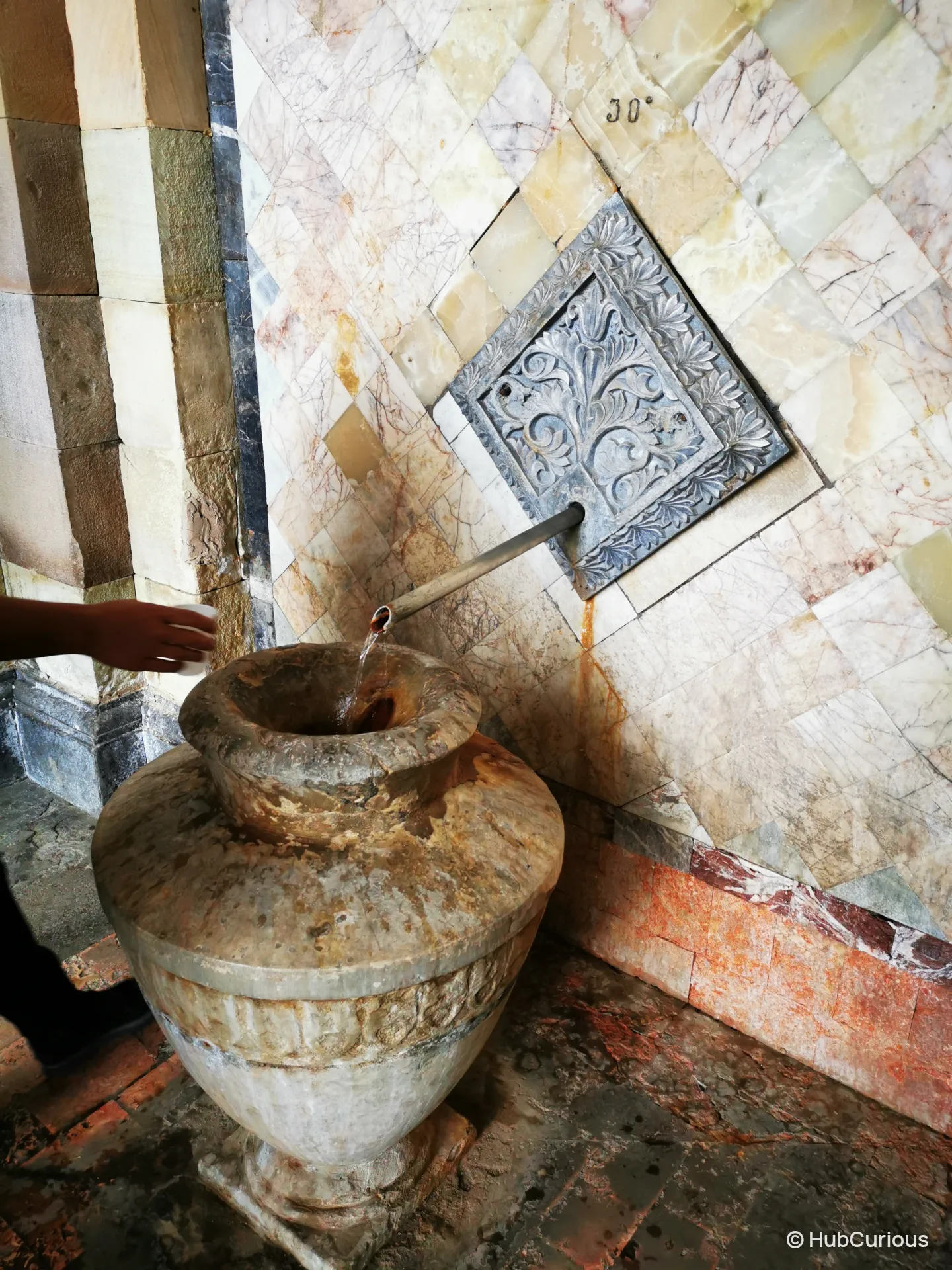
Jermuk sits at 2,080 metres and exists because of its water. In the colonnaded drinking gallery, built in 1956, five springs run into stone urns at temperatures from 30 to 53 degrees. Drinking from them is free. They do not all taste the same, and they do not all taste good.
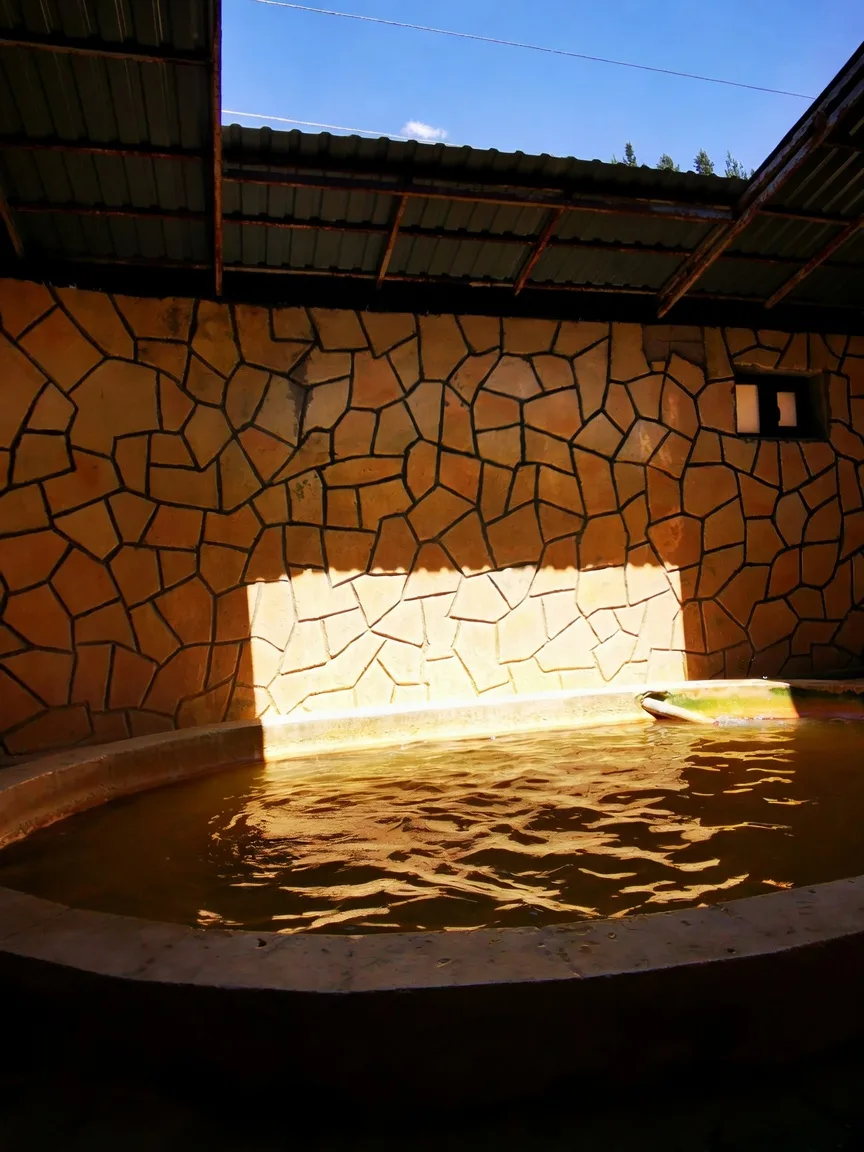
Armenia has more of this than it advertises. Thirty kilometres up the Marmarik valley from Tsaghkadzor, at around 1,900 metres, the springs at Hankavan. come out of the ground carrying bicarbonate, chloride, sodium and iron, which is why the water in the pools is the colour of weak tea rather than anything you would normally get into. It is warm enough to sit in for a long time. The village itself is one of the last Greek communities in Armenia, settled in 1827 by families who came from the Ottoman Empire; there is a church and a graveyard at the entrance with headstones from that time.
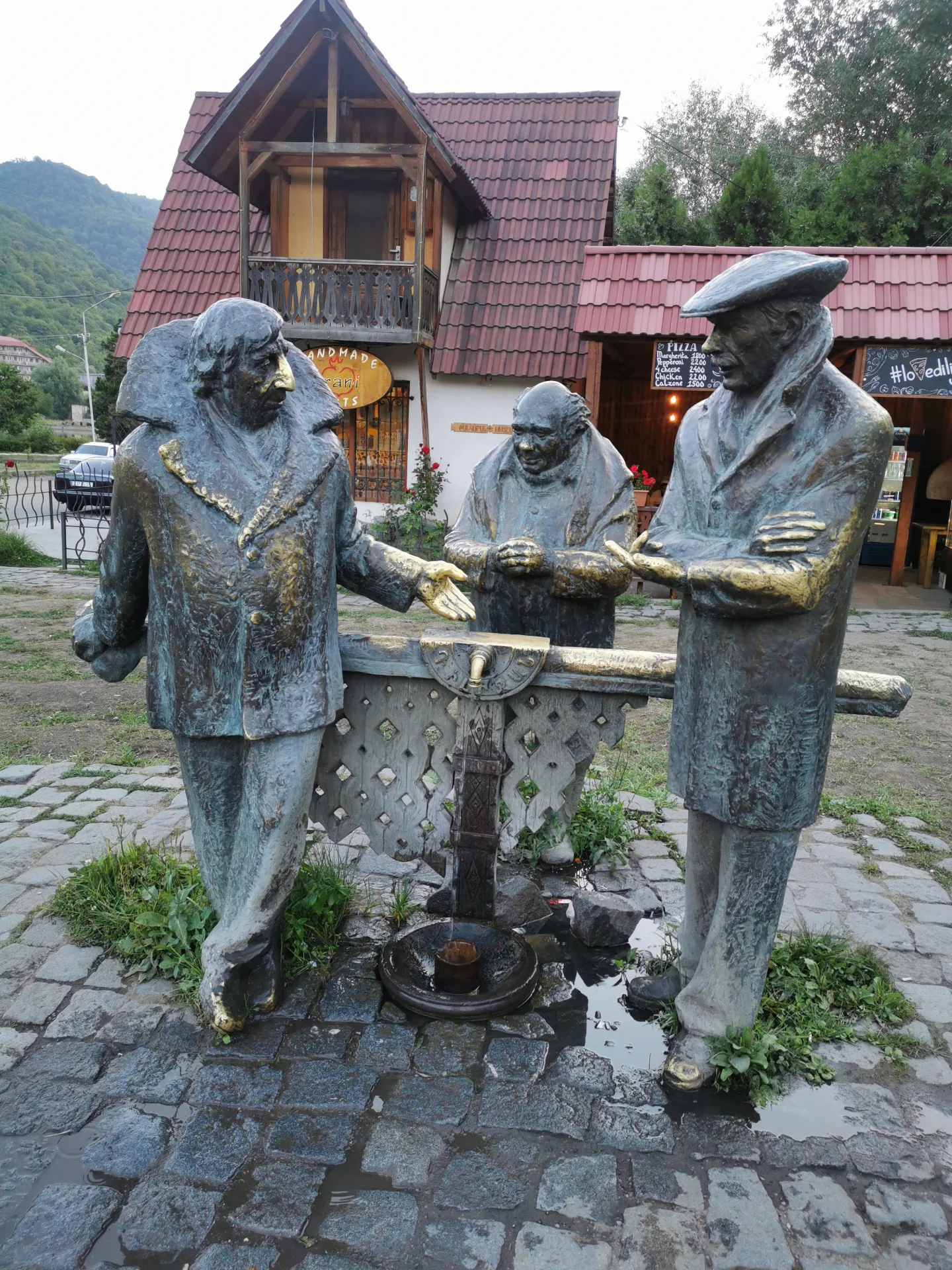
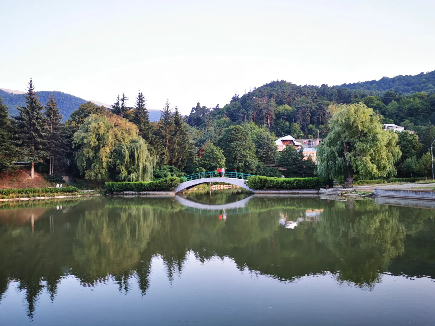
Dilijan is the green corner — oak and beech forest, a national park of 240 square kilometres, and a reputation as Armenia's Switzerland that the town wears lightly. In the centre, three bronze characters from the 1977 Soviet film Mimino stand around a drinking fountain. In the film, the Armenian lorry driver claims Dilijan tap water ranks second in the world. First place, he says, goes to San Francisco.
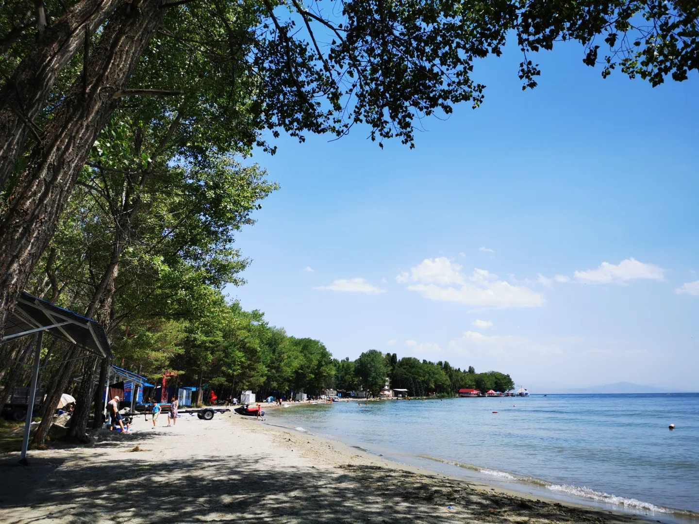
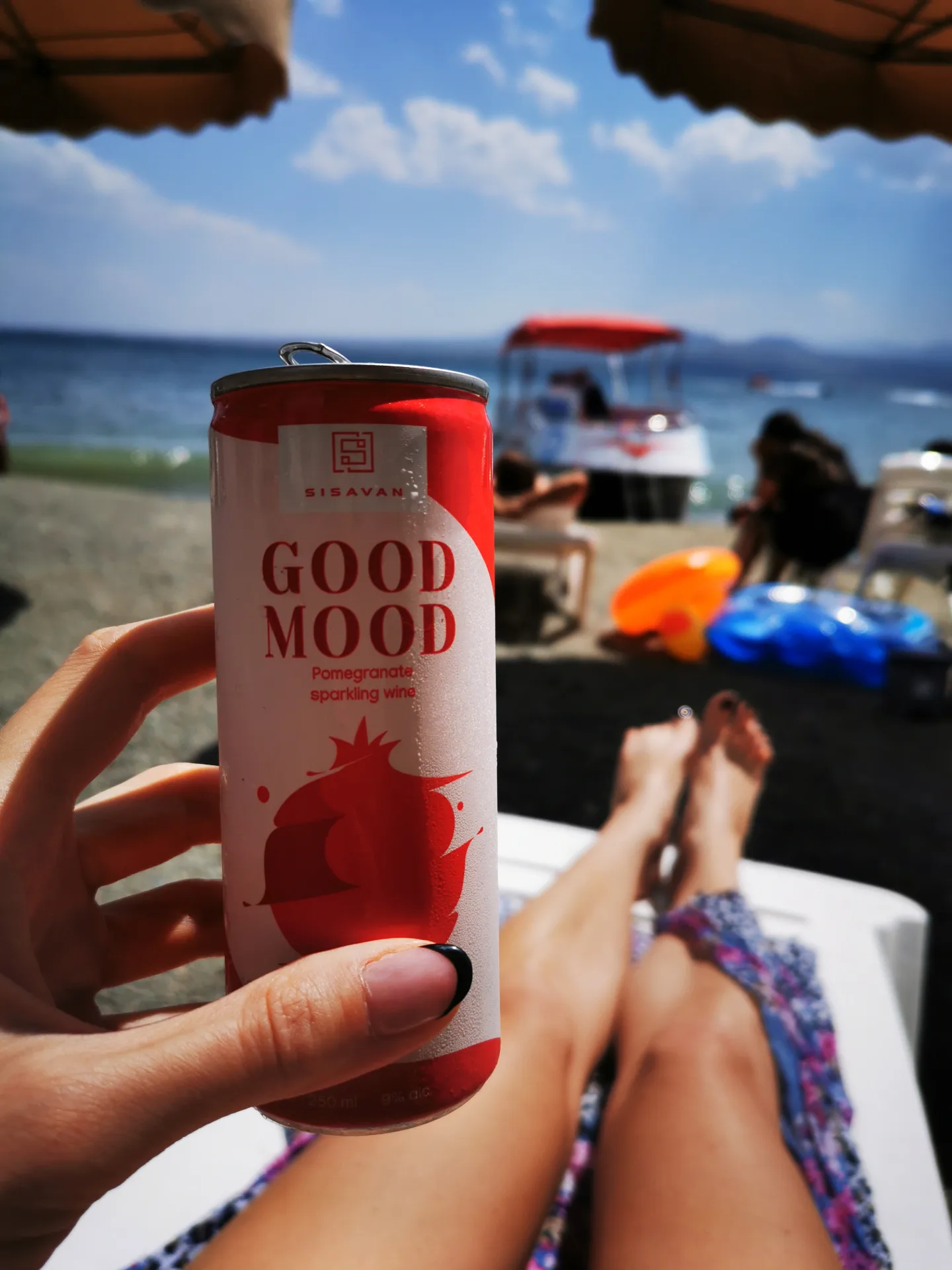
And then Lake Sevan, at 1,900 metres, which Armenians call their sea and which behaves like one. Sand, sun loungers, umbrellas, a tinned pomegranate sparkling wine, and water cold enough to wake you up in the middle of August.
Where should you eat at Lake Sevan?
The famous one is Semoyi Mot — listed as Collette on Google, same phone number, same place. It has been the default fish stop on the lake for years and it is where drivers bring people. We ate grilled fish under raw onion and herbs, thick-cut fried potatoes, a tomato and cucumber salad, sour cream, pickles, lavash. It was good.
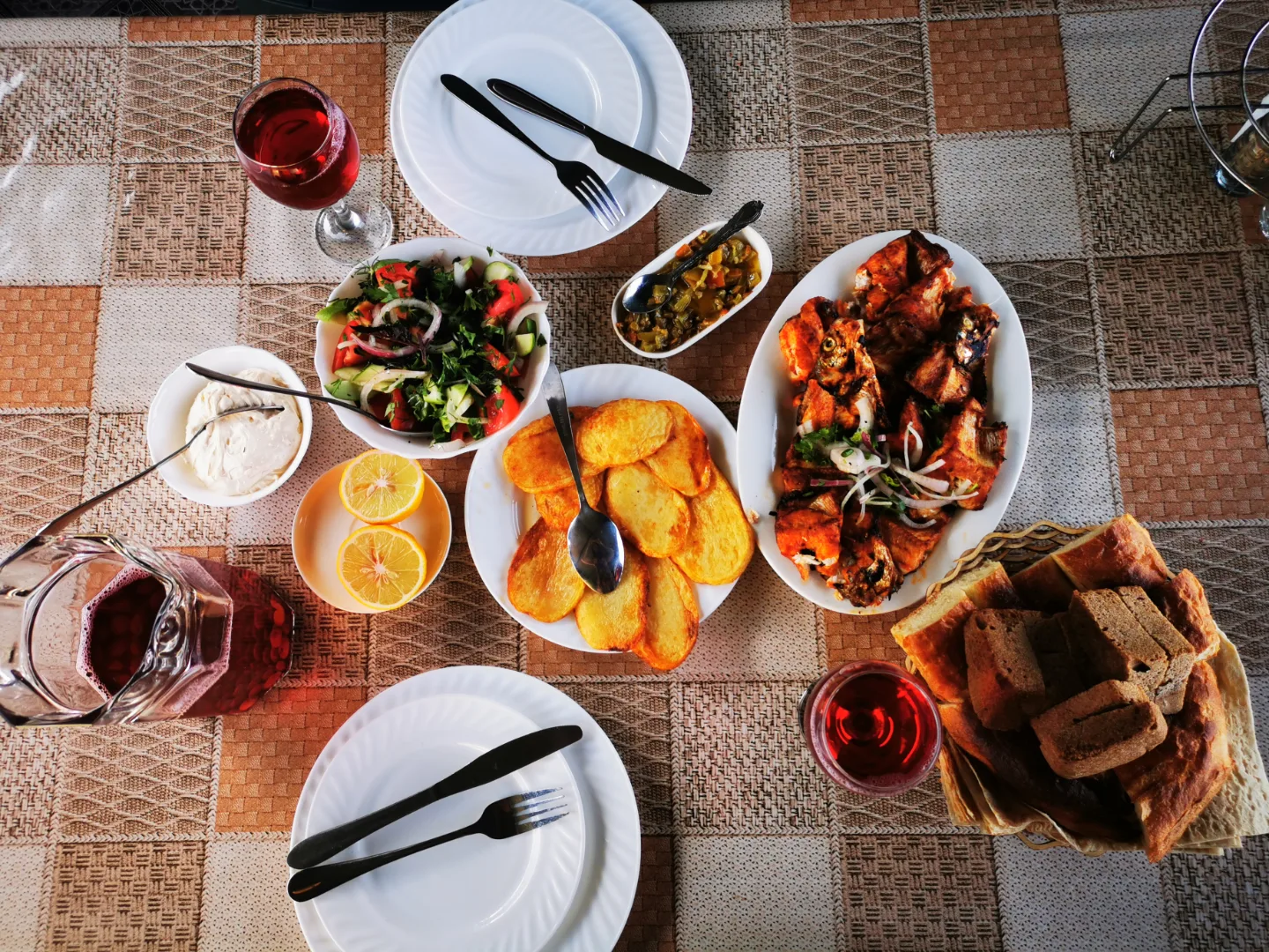
Two things worth knowing before you sit down rather than after: current reviews are divided, with the food praised more often than the service, and there is a compulsory service charge on top. Some visitors report cash only. The lake, in its defence, is right there.
Is it stressful to drive in Armenia?
Some links on this page are affiliate links. If you buy through them I may earn a small commission at no extra cost to you.
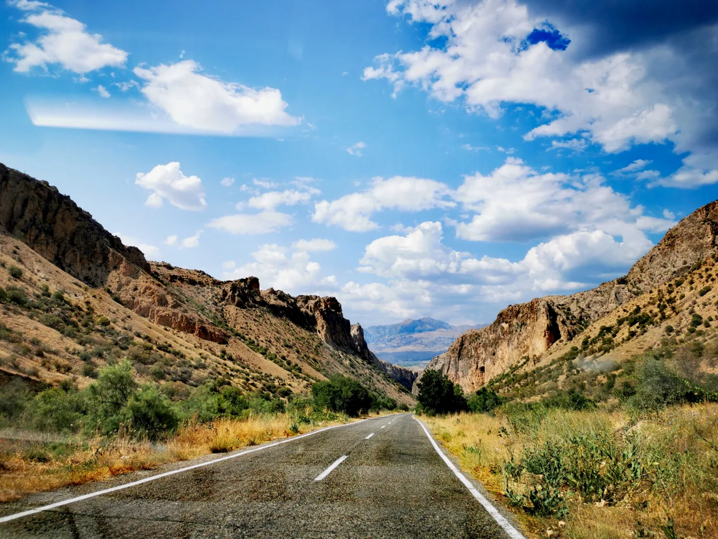
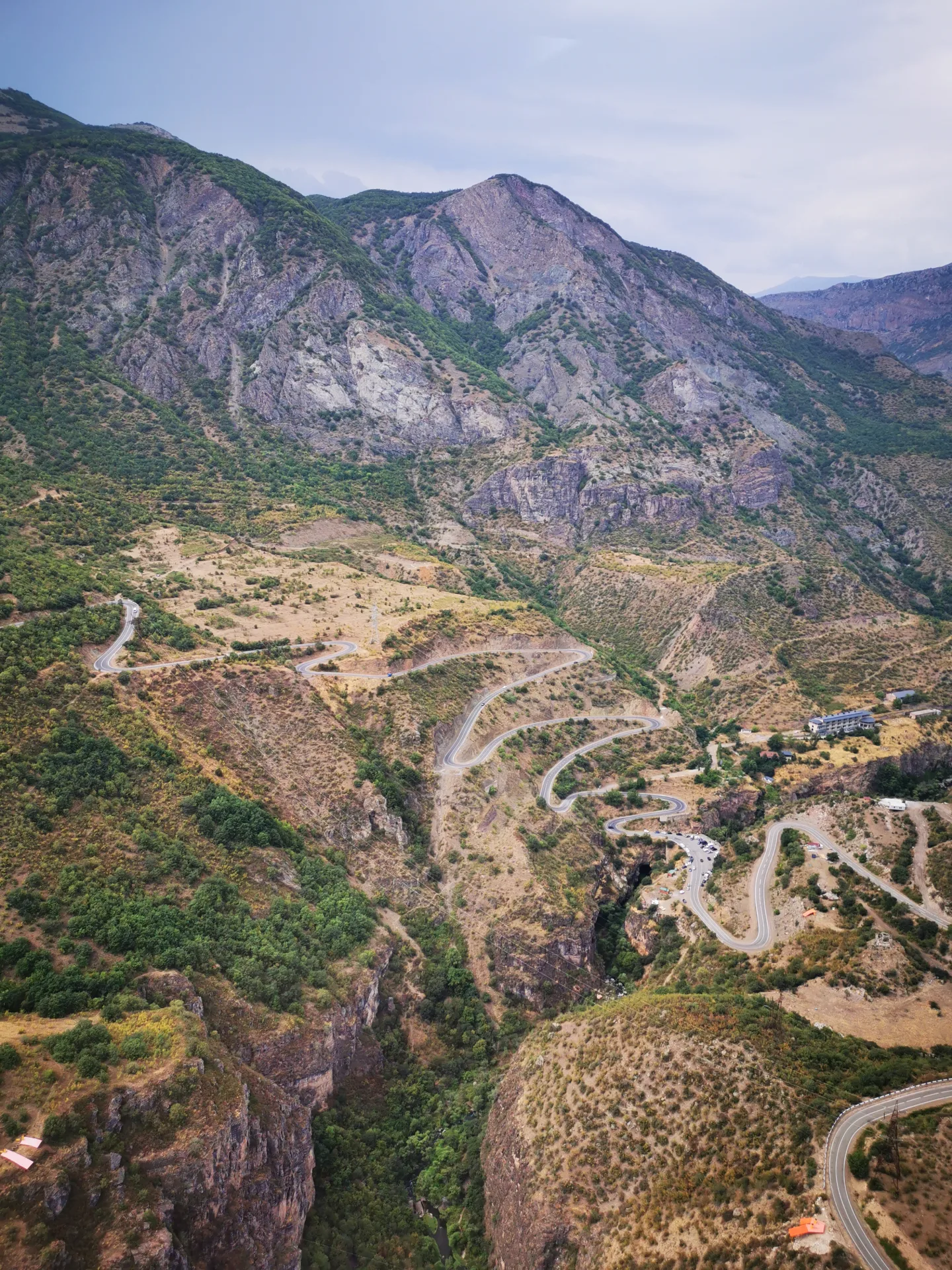
Outside the cities, yes. After European roads it takes recalibration. Cars overtake into oncoming traffic, close the gap hard, and cut in where there is no room to cut in. Nothing happened to us, but the whole trip was driven with both eyes open and a running guess at what the car ahead would do next. The main roads themselves are mostly fine. Some of the approach tracks to the sights are not, and a saloon will find them.
What made it easier was never having to think about the phone. We had an Airalo eSIM switched on before we landed, so the maps were working by the time we walked out of Zvartnots airport, and we never went looking for a SIM shop on the way to the car.
How many days do you need for a road trip around Armenia?
Twelve worked, six of them driving. The longest legs were Jermuk to Goris and Goris to Dilijan, each close to five hours behind the wheel before any stops, which in practice meant leaving early and arriving at dusk. Nights ran: three in Yerevan, then Jermuk, Goris, Dilijan, Tsaghkadzor, Alaverdi, and back to Yerevan for the last three.
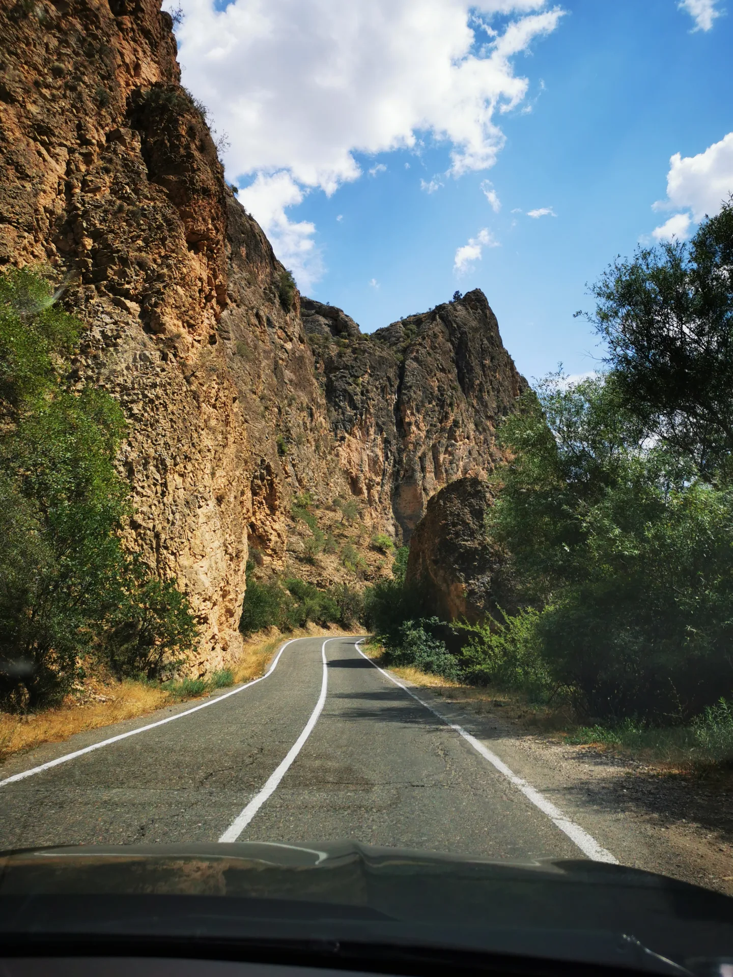
What stays with me is not a single view. It is how fast the country changes register — bare volcanic upland to forest to a lake that thinks it is the sea, inside one afternoon. And the people, who were welcoming in a way that did not feel transactional.
Yerevan gets its own post. We started there and finished there, and it deserves more than a paragraph on the way past.